
GIS Systems & Digital Cartography
We design and implement WebGIS platforms for municipalities, public infrastructure companies, and development projects. Our solutions integrate and combine spatial databases, interactive WebGIS maps, and automated data conversion services.
Spatial database design, ArcGIS Enterprise servers, and multi-format conversion
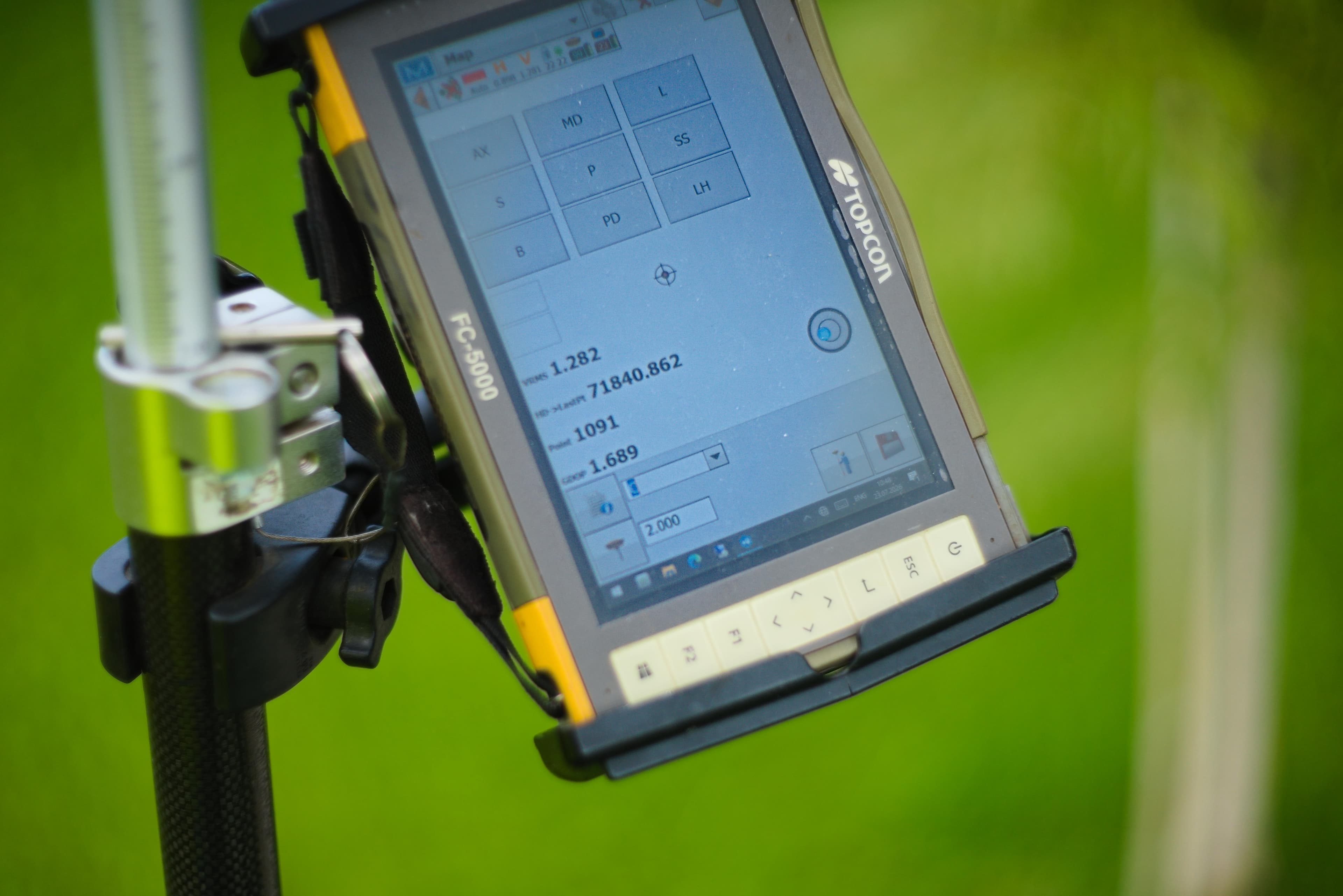
GIS Systems & Digital Cartography
Key Technical Features
ANCPI Clasa I & Standarde ISO
Our services are executed by ANCPI Class I authorized engineers, adhering strictly to ANCPI DocCad, E-Terra, and ISO 9001/27001 standards.
WebGIS Portals & Interactive Dashboards
Development of secure geospatial portals with granular user roles and interactive web maps.
Multi-Format CAD <-> GIS Conversion
Bidirectional data migration between CAD files (DWG, DXF) and spatial geodatabases (SHP, GPKG).
Digital Cartography & Plan Digitization
Georeferencing historical maps, orthophotos, and high-precision vector digitization.
Smart Utility Network Topology
Spatial modeling and clean topology creation for water, gas, power, and sewer infrastructure.
Core Technology Stack
GIS Components & Deliverables
GIS Architecture & Implementation Process
Requirements & Data Schema Design
Defining the spatial data model, feature classes, domains, and attribute structures.
Data Digitization & Conversion
Vectorizing paper maps, georeferencing raster layers, and converting CAD into Geodatabase format.
Topology Validation & Quality Rules
Executing automated integrity tests (must not overlap, must not have gaps).
WebGIS Portal & OGC Service Deployment
Publishing OGC compliant web services (WMS/WFS) and configuring interactive dashboards.
Staff Training & Ongoing Support
Delivering administration documentation and training user staff.
WebGIS & Spatial Data Applications
Public Sector (B2G)
- Municipal Urban Planning and Cadastral Departments
- Public Asset and Infrastructure Management Units
- Public WebGIS portals for citizen engagement and transparency
Private Sector (B2B)
- Utility network operators (water, gas, electric power, telecom)
- Industrial and logistics park developers
- Mining and natural resource exploration companies
Request a Proposal for GIS Systems & Digital Cartography
Contact us today for a free consultation and a personalized quote for your project.
Explore Other Megagis Services
Systematic Cadastre & Free National Land Registration
End-to-end management of systematic land registration at municipality or sector level
Engineering-level topography & high-precision geodetic survey
Topographical surveys, construction setting out, profiles, and deformation monitoring
Local Registry of Green Spaces (RSV)
Green asset inventory, phytosanitary health assessment, and WebGIS for municipalities
Specialized Technical & Legal Consulting
Institutional liaison, ANCPI/OCPI approval assistance, and public admin support