
Engineering Cadastral, Topographical & GIS Solutions
From large-scale systematic land registration projects (PNCCF/POR) and high-precision GNSS surveying to custom WebGIS systems and Local Green Space Registries compliant with Law 24/2007.
Systematic Cadastre & Free National Land Registration
We carry out systematic land registration works under the National Program for Cadastre and Land Registry (PNCCF) and POR. We handle property and owner identification, field surveying, technical documentation, and free land registration.
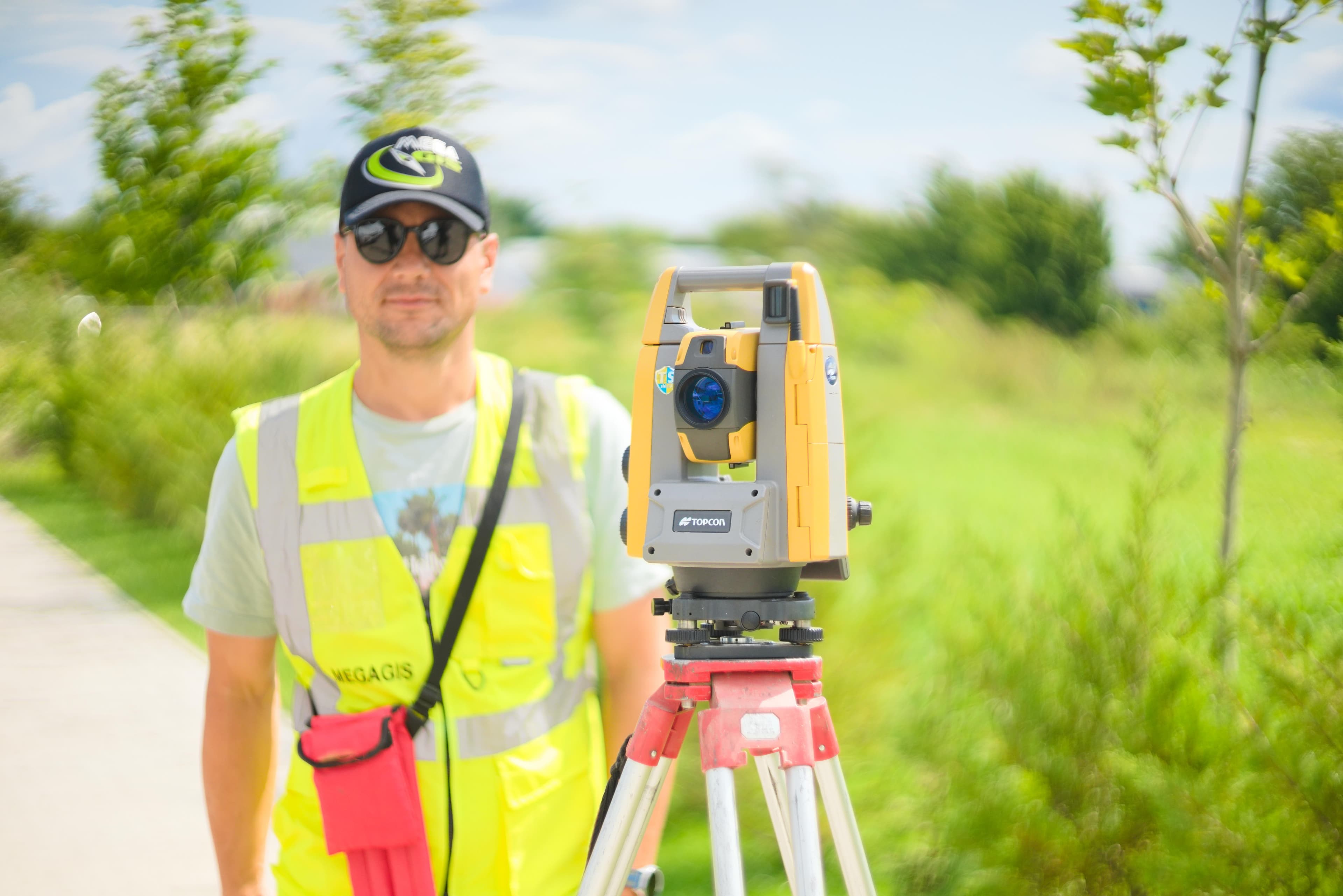
- Identification and inventory of land parcels, buildings, and legal owners
- On-site cadastral surveying with centimeter-level RTK GNSS receivers
- Preparation of cadastral maps, sector plans, and property data files
- Direct collaboration and support with Local Land Commissions
- Public consultation of technical documentation and resolution of owner appeals
Engineering-level topography & high-precision geodetic survey
We deliver high-precision engineering-level topography and geodetic services for civil infrastructure and industrial projects utilizing robotic total stations (Leica / Topcon) and dual-frequency GNSS receivers for sub-centimeter accuracy.
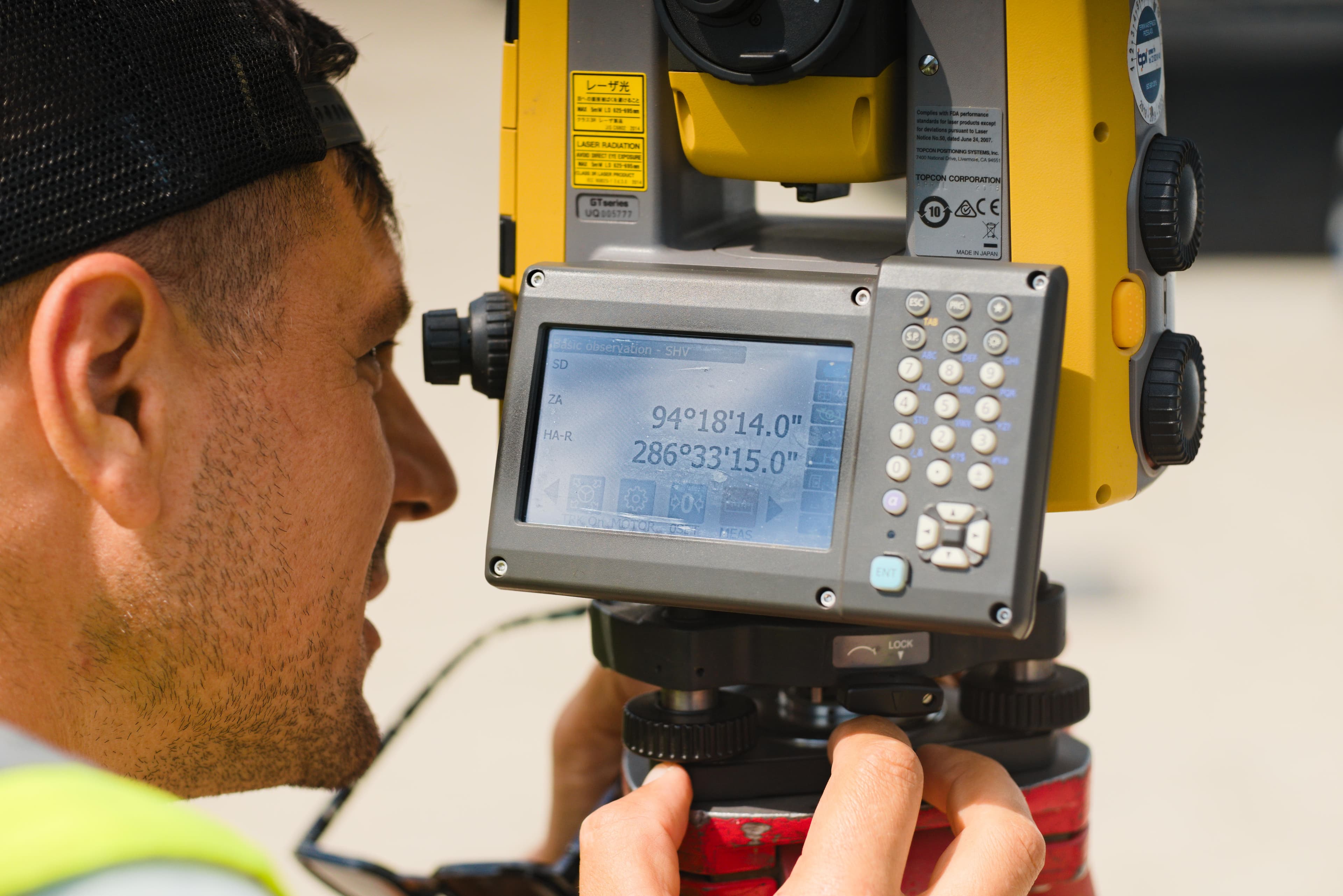
- High-precision topographical surveys for site plans (PUG / PUZ / PAC)
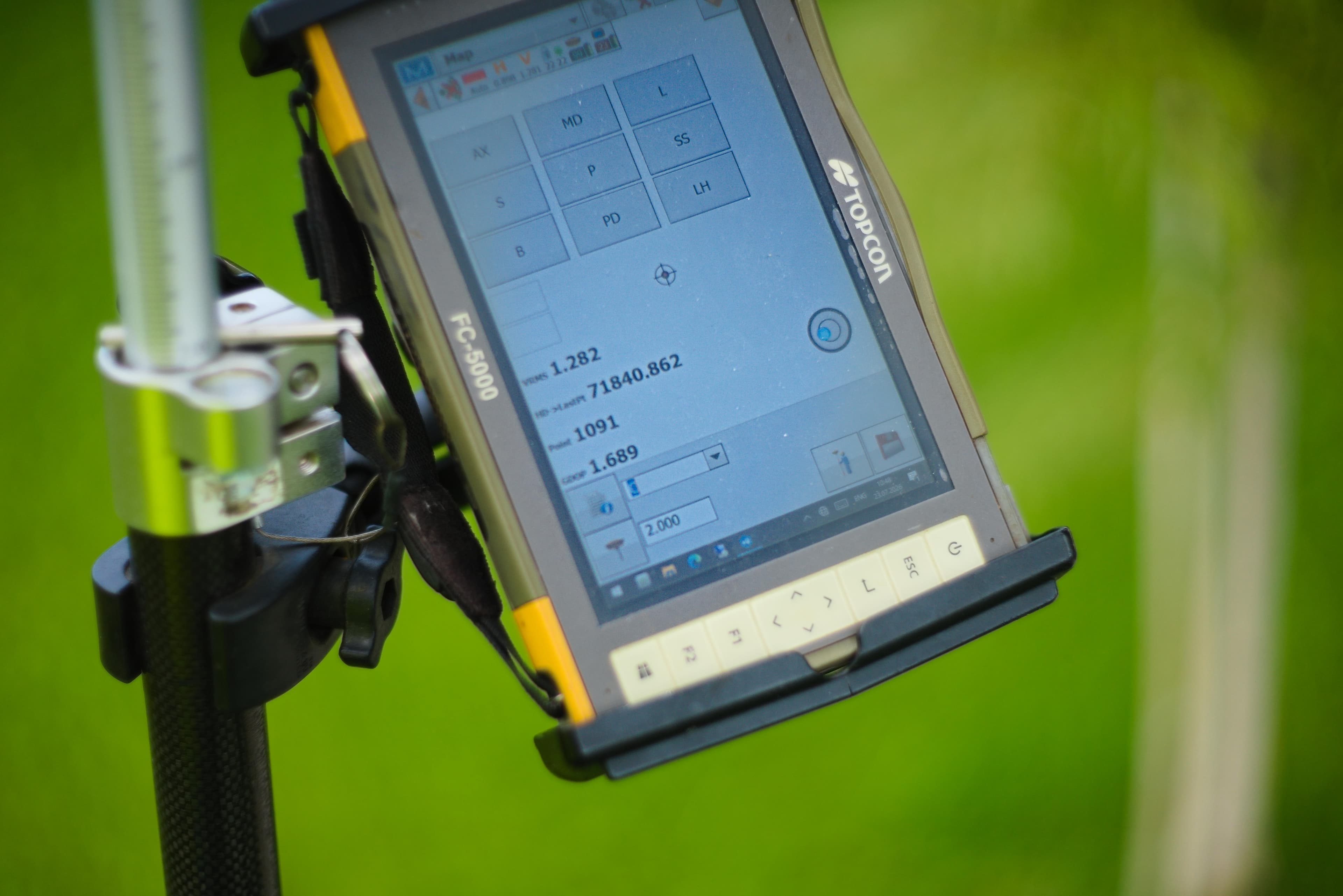
- GNSS RTK surveys connected to the national ROMPOS permanent reference network
- Setting out of construction axes, grid points, property lines, and utilities
- Longitudinal and cross-sectional profiles for roads, railways, and watercourses
- Building displacement and structural deformation monitoring over time
- Bathymetric surveys and riverbed topographical mapping
GIS Systems & Digital Cartography
We design and implement WebGIS platforms for municipalities, public infrastructure companies, and development projects. Our solutions integrate and combine spatial databases, interactive WebGIS maps, and automated data conversion services.
- ArcGIS Enterprise 11.2 server architecture design and administration
- Spatial Geodatabase creation (PostGIS, Esri File GDB)
- Digital cartography, historical map digitization, and georeferencing
- Multi-format spatial data conversion: CAD (DWG/DXF) <-> GIS (SHP/GPKG/GeoJSON)
- Custom WebGIS portal development with interactive dashboards
- Topology generation and the correction of topology errors between different spatial datasets: electricity, wastewater, natural gas or water networks, etc.
Local Registry of Green Spaces (RSV)
We build the official Local Registry of Green Spaces compliant with Law 24/2007 for Green Space Management. Our solution combines public property GIS digitization, field inventory of vegetation, individual tree health diagnosis, and data integration into a municipal WebGIS portal.
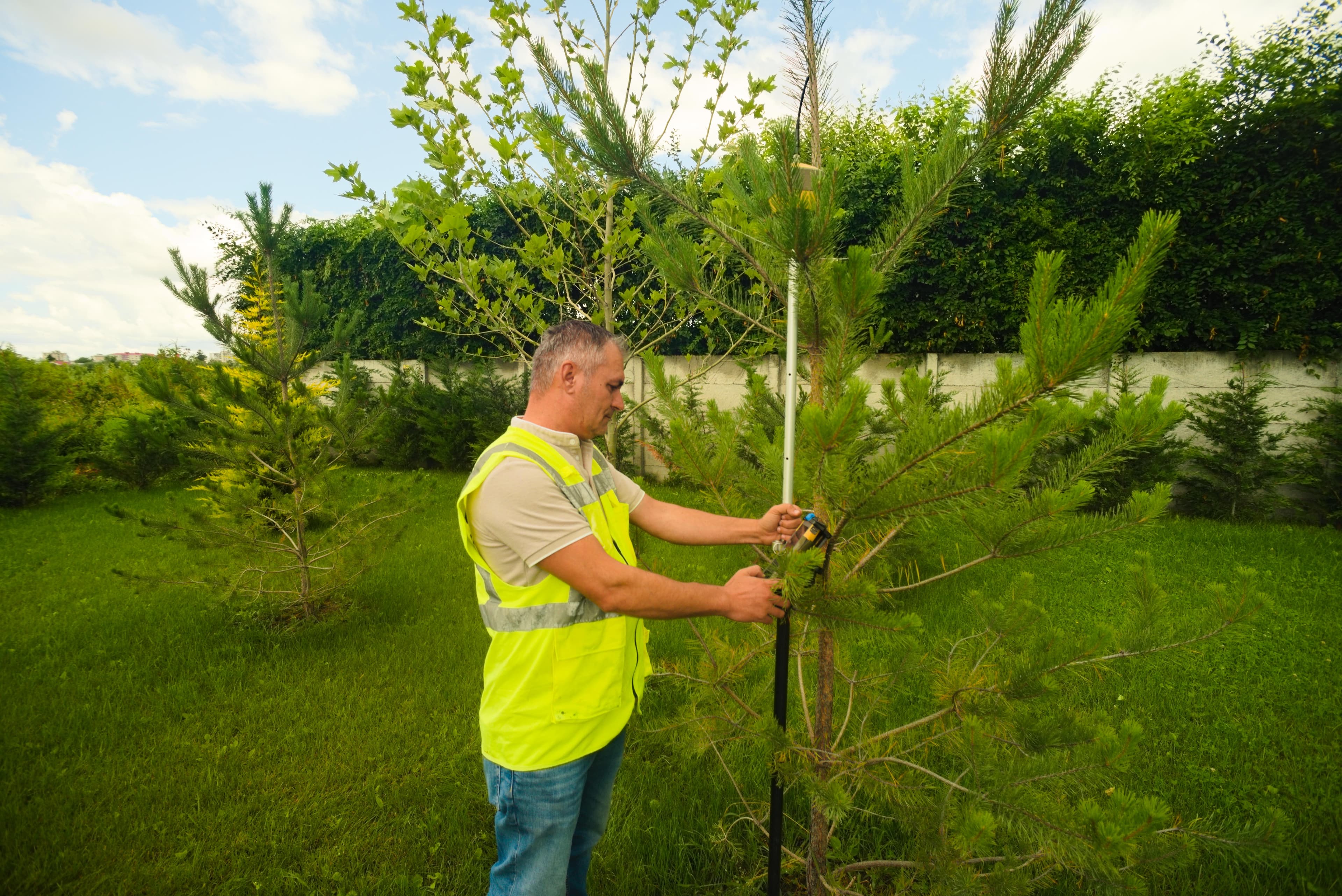
- Inventory of public green spaces, parks, and urban vegetation areas
- Individual on-site tree & shrub positioning using centimeter-level GNSS RTK or high-resolution orthomosaics
- Individual phytosanitary assessment and risk classification for every tree
- Technical pruning, maintenance, and preservation recommendations
- Statutory calculation of green space square meters per inhabitant
- Public WebGIS interactive map and search portal.
Specialized Technical & Legal Consulting
We provide end-to-end technical assistance for public authorities, real estate developers, and infrastructure contractors. We ensure documentation auditing, institutional representation with ANCPI/OCPI, and resolution of complex cadastral challenges.

- Technical support in preparing documents for public procurements
- Technical auditing of existing cadastral and topographical files
- Institutional liaison and representation with ANCPI, OCPI, and Municipalities
- Quality control and supervision of systematic land registration projects
- Extrajudicial topographical expertise and boundary overlap resolution
- Land acquisition and public utility expropriation consulting
Engineering Technology & Standards
100% integration with E-Terra, ANCPI DocCad, and Esri ArcGIS platforms