
Digital Topography, Systematic Cadaster & High-Precision GIS Solutions
SC MEGAGIS SRL is a company specialized in delivering advanced geospatial services for public administration and the private sector.
Founded with the mission to digitalize and streamline cadastral and surveying processes in Romania, our company combines field engineering experience with modern software platforms and state-of-the-art surveying equipment.
MEGAGIS SRL — Trusted Partner in Geospatial Projects
Providing comprehensive engineering, geodesy, cadastral, and technical consulting services across Romania.
SC MEGAGIS SRL is a Romanian engineering and technical consulting company specialized in systematic cadastral registration (PNCCF), high-precision topographical surveying, Geographic Information Systems (GIS), and Local Green Space Registries.
The company possesses the technical and human resources capable of managing large-scale national projects, from mapping entire Administrative Territorial Units (UAT) to vectorizing urban utility networks.
Quality Assurance & Hassle-Free Delivery
With ANCPI Class I authorization, our systematic cadastre and topography projects follow rigorous technical verification processes while meeting delivery deadlines and beneficiary specifications.
Company Identification Data
STATUS: ACTIVE / ANCPI AUTHORIZEDCertified Quality at National and International Levels
We operate under the most rigorous standards for quality, environmental management, and information security.
Class I Authorization
Series RO-B-J No. 2489/2022 — The highest authorization level in Romania, allowing execution of any geodetic, cadastral, and cartographic project without surface limitations.
Quality Management System
Guarantees internal process rigor, dual-stage measurement data validation, and customer satisfaction for public and private sector clients.
Environmental Management
Attests our environmental responsibility during field operations and sustainable use of technology resources.
Information Security
Ensures strict protection and confidentiality of geospatial data, property records, and managed GIS spatial databases.
Geodetic Equipment & Next-Gen Software Suite
Measurement precision powered by Leica and Topcon hardware, alongside professional geospatial software platforms (Page 34 Official Technical Showcase).
Total Stations (Robotic & Optical)
- Leica TC 805 ultra
- Leica TCR 1101 DR
- TOPCON GPT 7005I
- TOPCON OS-103 BG
GNSS / GPS RTK Systems
- TOPCON HiPer HR
- TOPCON GR5
- TOPCON HiPer PRO
High-Precision Digital Leveling
- Topcon DL-101C Digital Level
Geospatial & CAD Software
- ArcGIS Pro Standard 3.2
- ArcGIS Enterprise 11.2
- MapSys 10.0
- TopoLT + ProfLT
- Magnet Field / Office
- AutoCAD LT
- DocCad
All-Terrain Vehicle Fleet
- Dacia Duster
- Dacia Jogger
- Dacia Logan MCV
- Dacia Dokker
- Ford Kuga
- Ford Focus
- Ford Mondeo
Field Operations & Technical Expertise in Action
Our team of certified engineers conducts millimeter-accurate field measurements and advanced office processing.
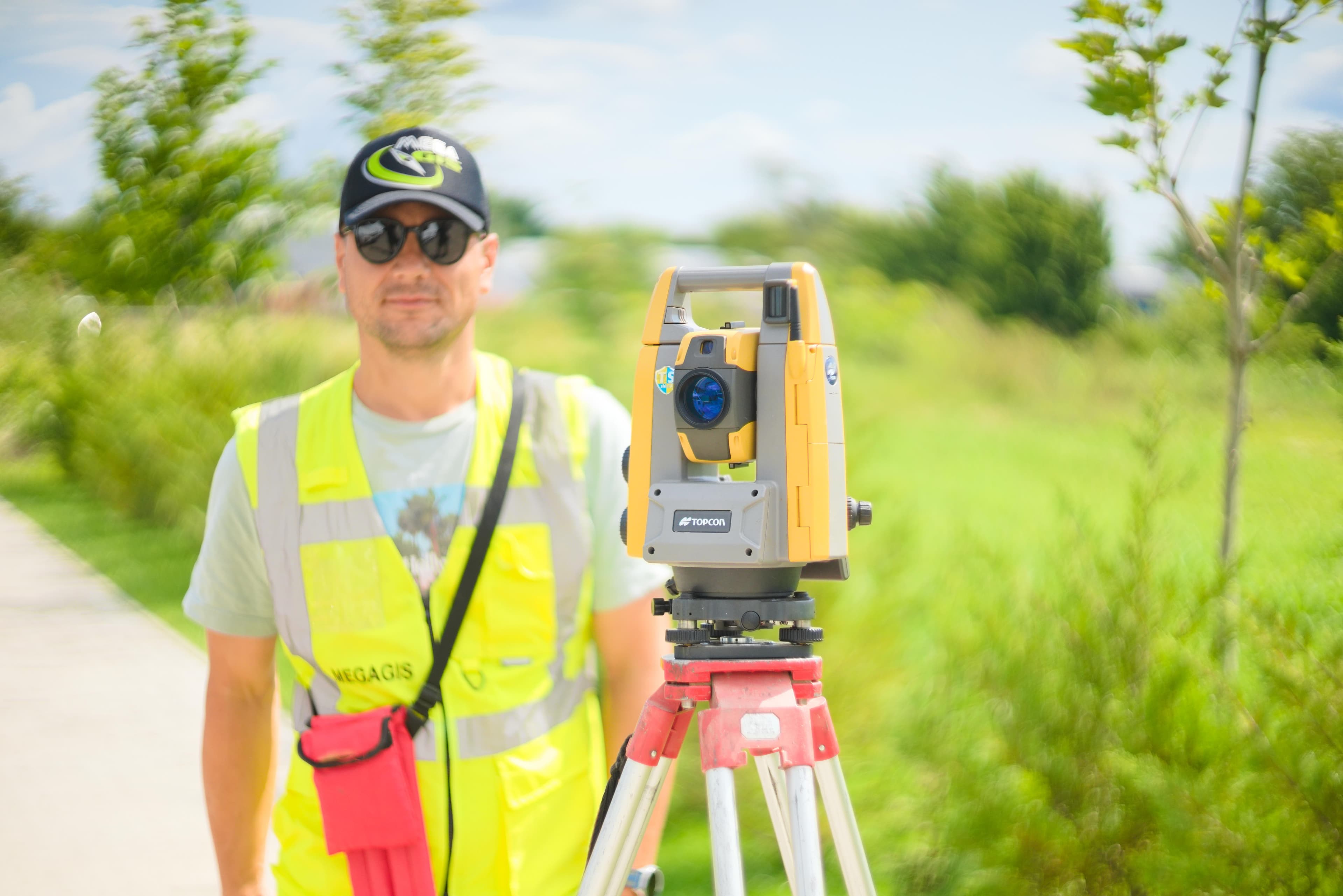
Field GNSS RTK Surveying
Coordinate determination in national Stereo 70 projection using multi-constellation satellite reception.
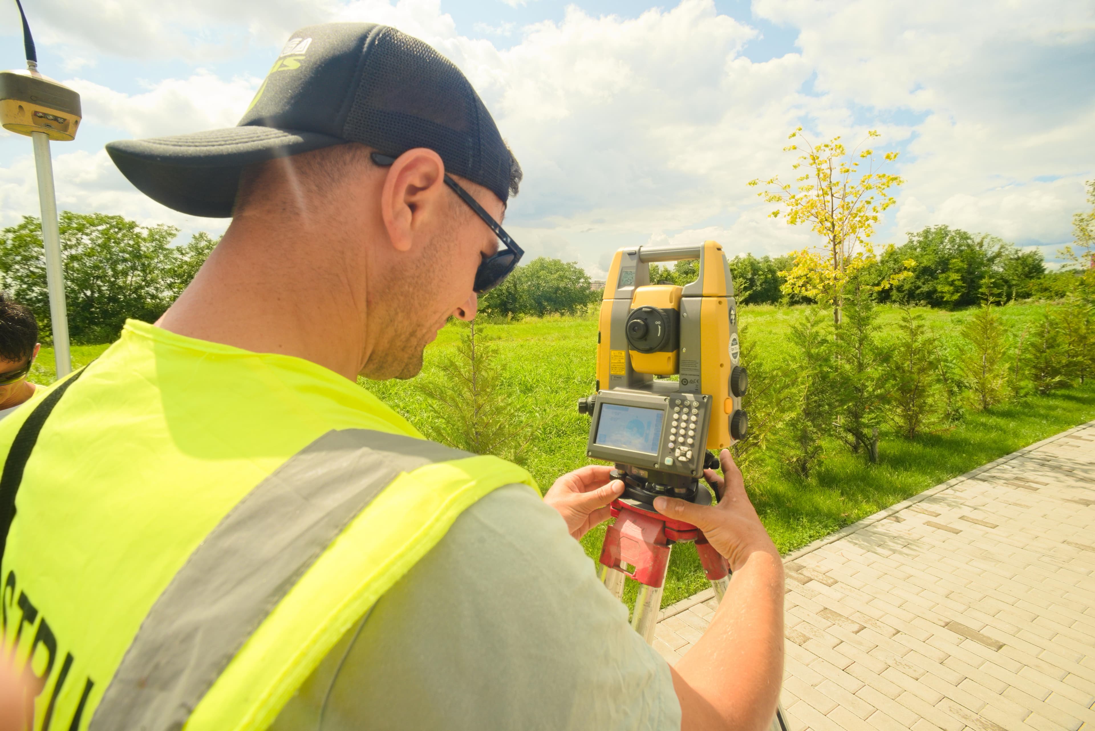
Total Station Operational Setup
Optical calibration and geodetic reference control alignment for infrastructure projects.
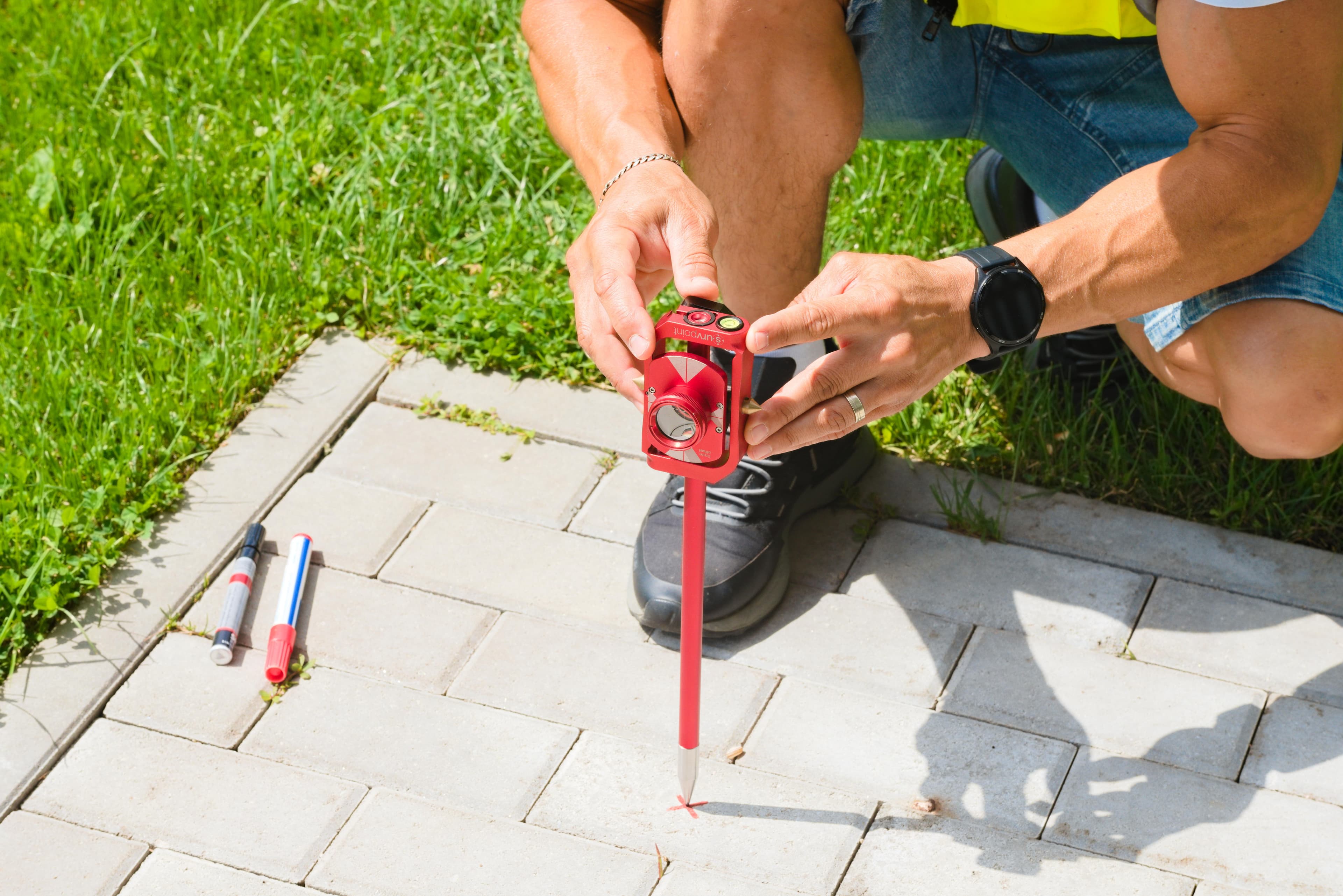
Detailed Topographical Survey
Field data collection for boundary mapping and cross-sectional profile generation.
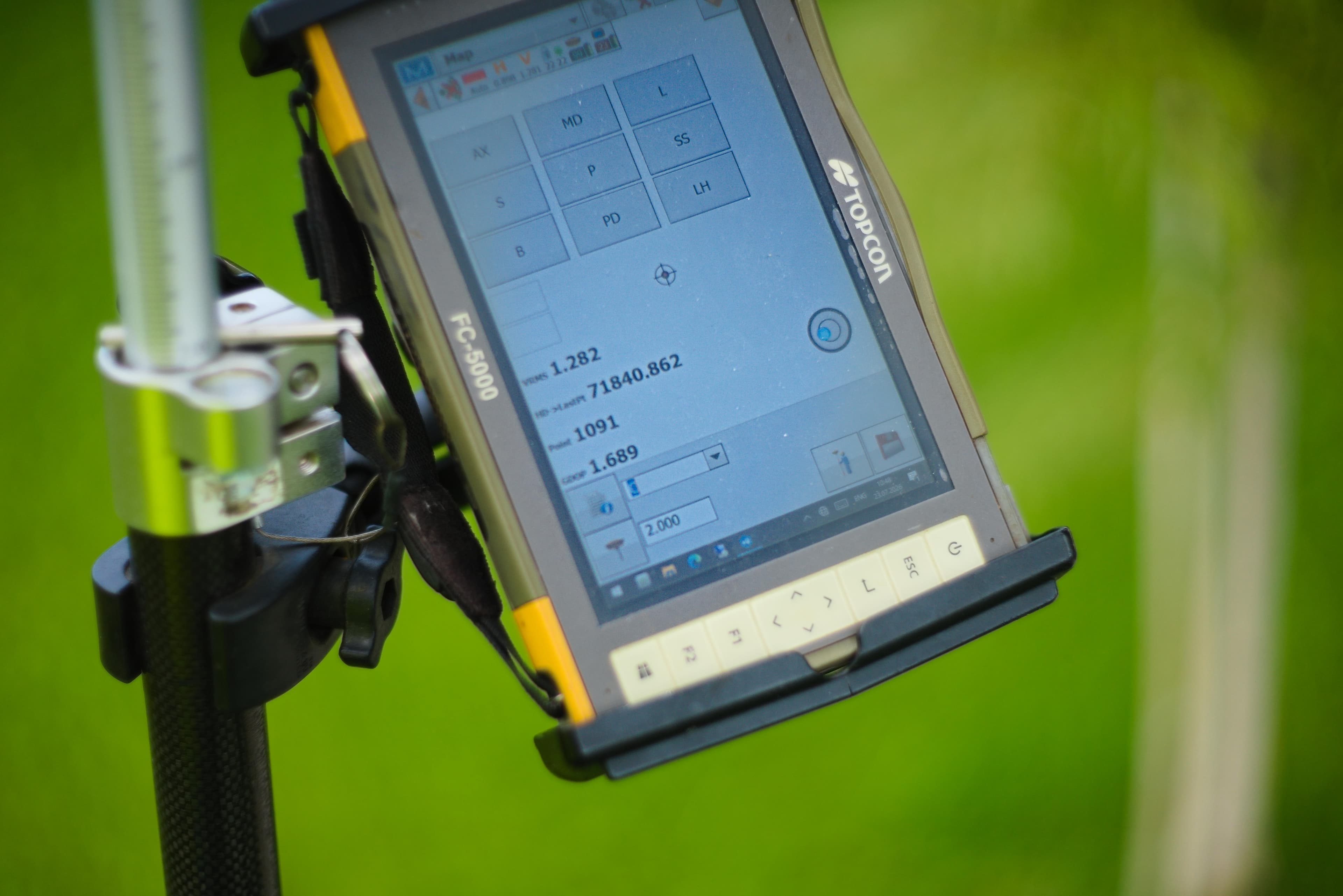
GIS Processing & Cartography
Vectorization, topological validation, and .xml file preparation meeting technical requirements.
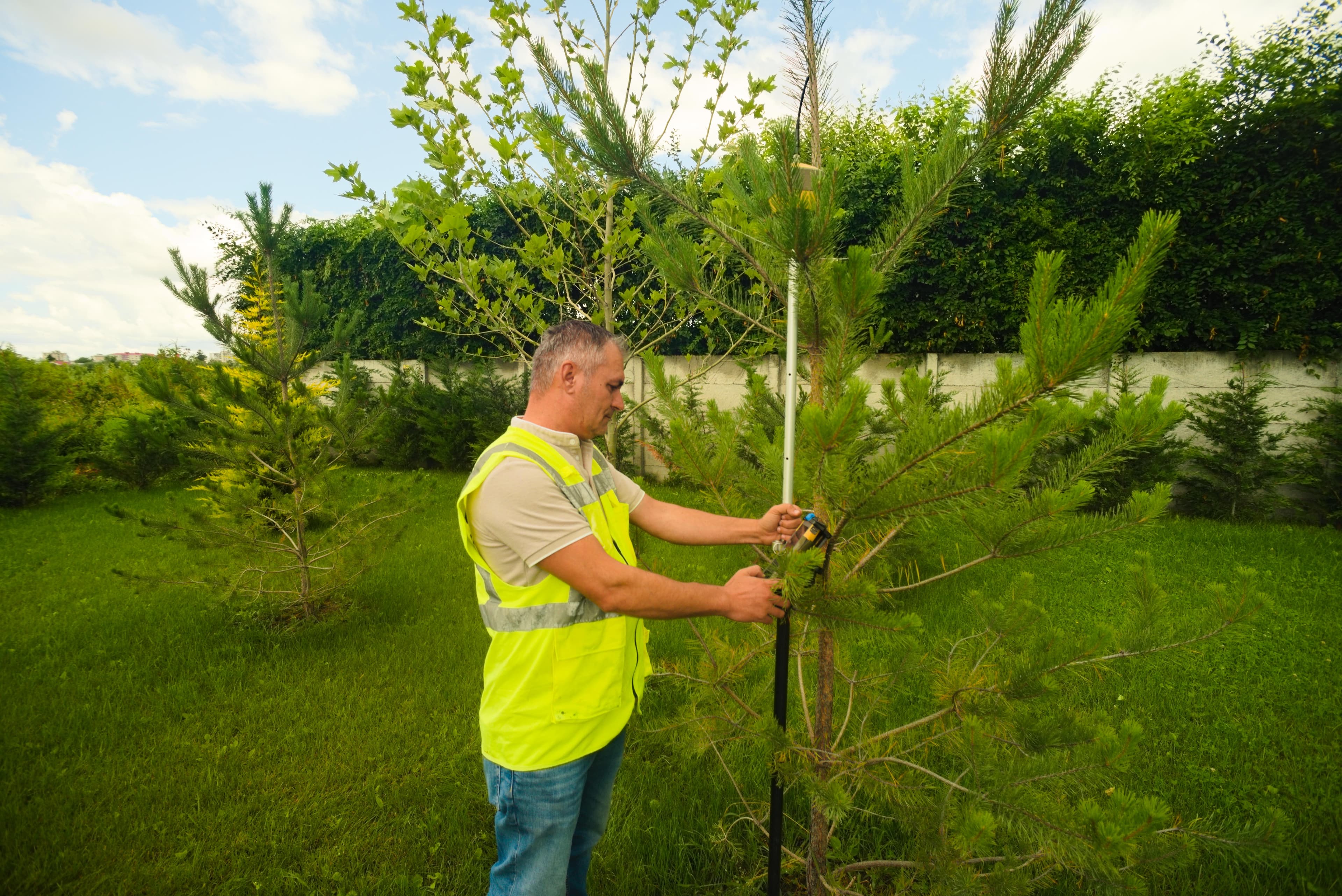
MEGAGIS Field Survey Team
Licensed specialists ready for rapid deployment in any region across Romania.

Local Geodetic Control Network
Establishment of ground control points correlated with national geodetic benchmarks.