

Precision in Cadastre & Surveying
We are a company based in Targoviste, ANCPI Class I certified. We provide comprehensive land cadastre, topography services, and advanced GIS solutions across Romania.
Software Platforms & Web GIS Systems
We develop and operate dedicated geospatial applications for systematic cadastre and green space management
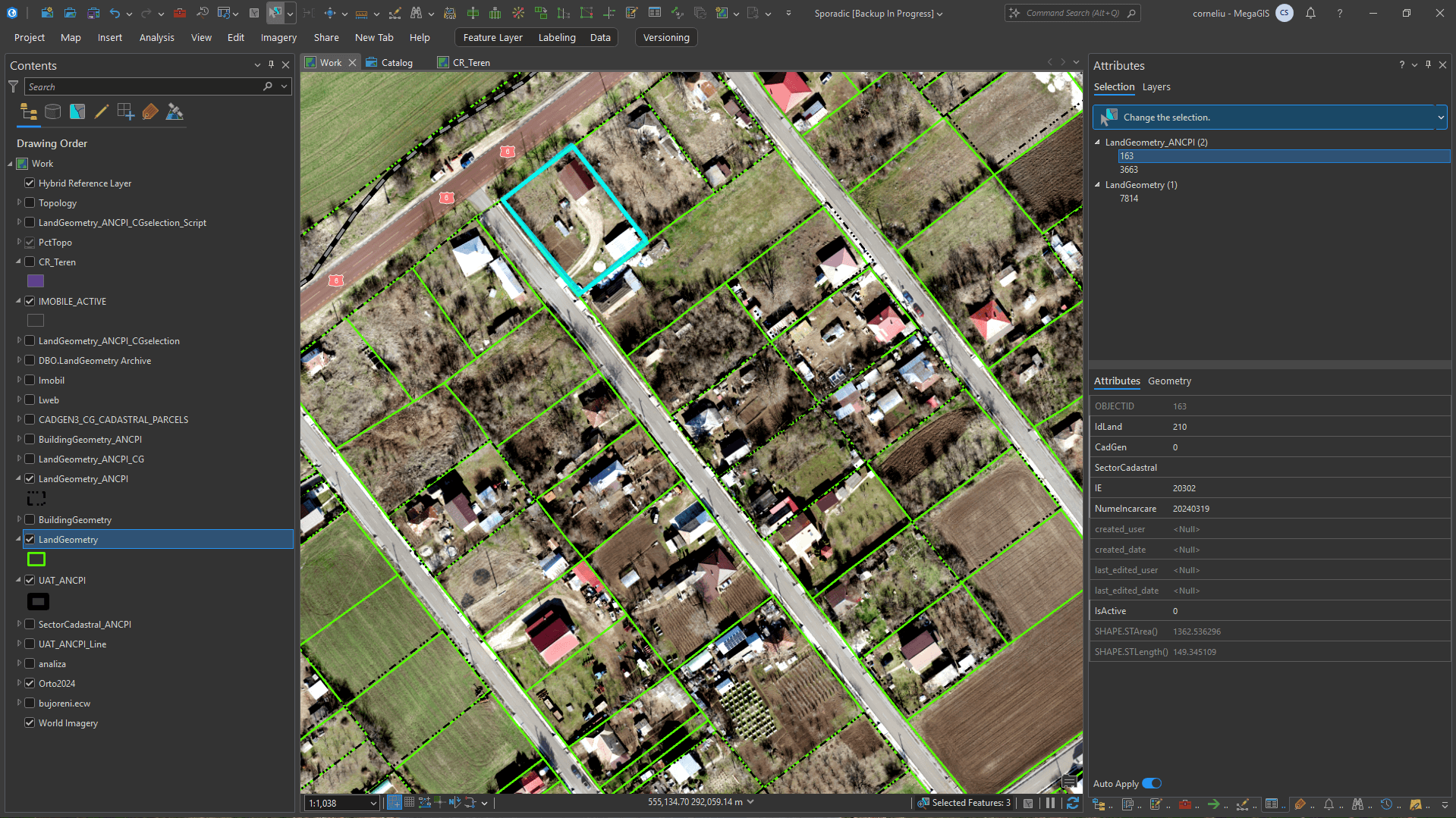
Web GIS Systematic Cadaster System & Site and Demarcation Plan (PAD) generation
Interactive municipal cadastral query platforms (e.g. Cerăt Municipality) with instant search by Cadastral ID / IE, sector visualization, and automated extraction of Site and Demarcation Plans (PAD).
- Instant search by Cadastral Number / Electronic ID (IE)
- Automated area calculation and parcel demarcations
- Direct export into official ANCPI formats (.xml, .dxf, .shp)
- High-resolution orthophoto layer integration
Our domains of expertise
MEGAGIS SRL is an ANCPI Class I authorized company with extensive experience in national projects and complex surveying
Field Equipment & Technology
We invest in high-precision instruments for millimeter accuracy measurements and top performance on any site
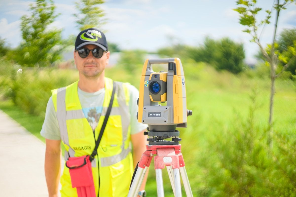
Total Stations: Leica & Topcon
Used for high-precision optical surveying under dense tree canopy or near high-rise buildings where GNSS signal is obstructed.
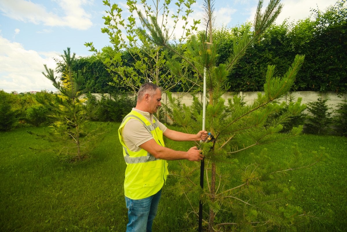
GNSS RTK Receivers
Instant centimetric positioning on individual trees, plot boundaries, and cadastral benchmarks directly in the national Stereo 70 coordinate system.
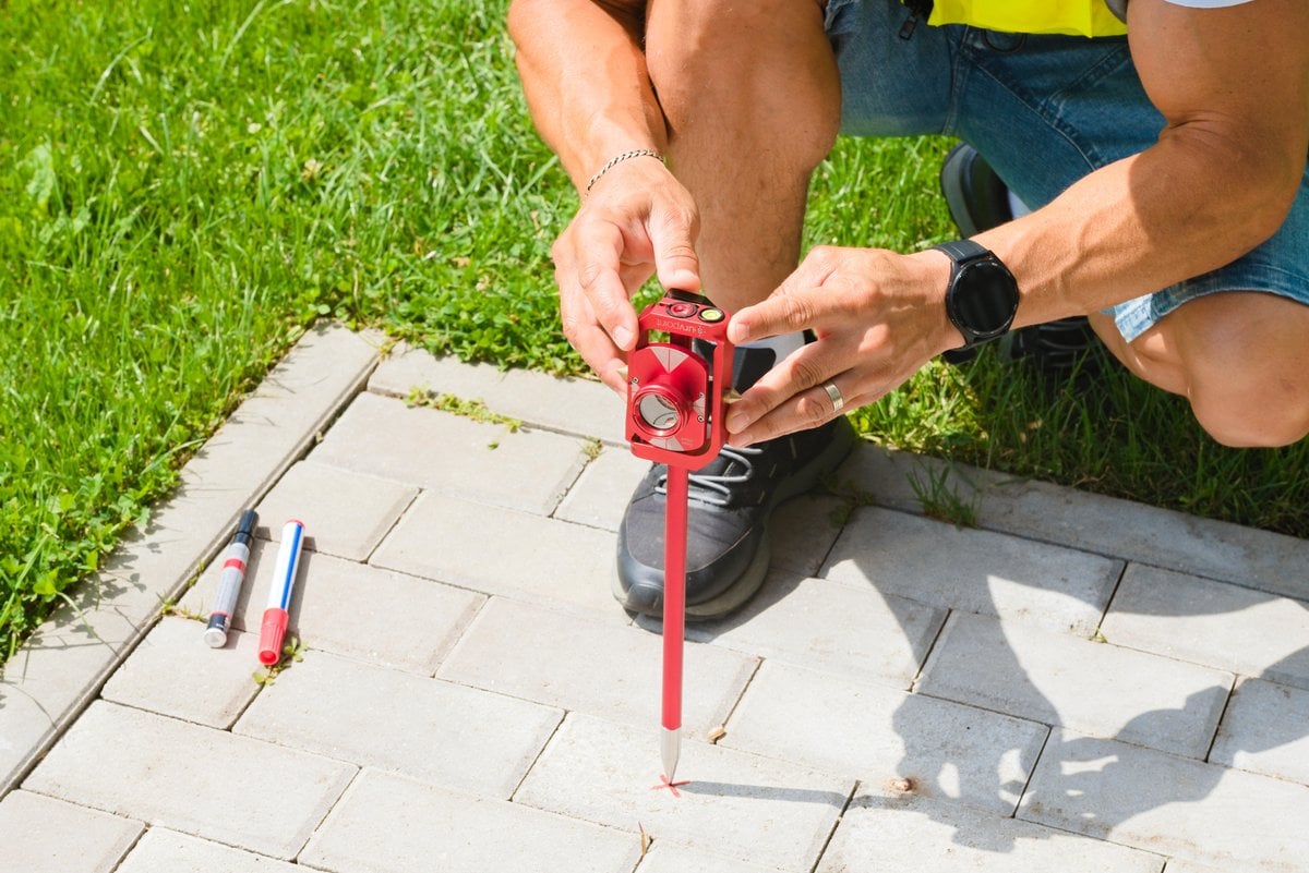
Digital Levels
High-precision apparatus for determining elevations and altitudes in support networks and major infrastructure projects.
Portfolio & Strategic Partners
Proven execution on major projects for public administration and private developers

Systematic Cadastre UAT Bălteni

Systematic Cadastre UAT Amărăștii de Jos

Systematic Cadastre UAT Poiana Ilvei

Municipal Green Spaces Registry Timișoara

Municipal Green Spaces Registry Arad
Natural Gas Utility Networks SC Megaconstruct

Topographical Surveys Utility Networks

Technical Assistance Water & Sewerage
Why Choose Us
Your trusted partner in cadastral and surveying services
Maximum Precision
We use cutting-edge surveying equipment and professional software for the highest quality results.
Legal Compliance
ANCPI Class I certified (RO-B-J nr. 2489/2022). ISO 9001, ISO 14001, ISO 27001 certified for quality, environmental, and information security management.
Efficiency & Speed
Optimized processes for timely delivery of documentation at affordable costs, without compromising on quality.
Proven Expertise
Team of certified specialists with extensive experience in diverse projects. Guaranteed maximum satisfaction confirms the quality of our services.