
Systematic Cadastre & Free National Land Registration
We carry out systematic land registration works under the National Program for Cadastre and Land Registry (PNCCF) and POR. We handle property and owner identification, field surveying, technical documentation, and free land registration.
End-to-end management of systematic land registration at municipality or sector level
Systematic Cadastre & Free National Land Registration
Key Technical Features
ANCPI Clasa I & Standarde ISO
Our services are executed by ANCPI Class I authorized engineers, adhering strictly to ANCPI DocCad, E-Terra, and ISO 9001/27001 standards.
Property Identification & Inventory
Field scan, collection of title deeds, and direct collaboration with Local Land Commissions.
Centimeter RTK GNSS Surveys
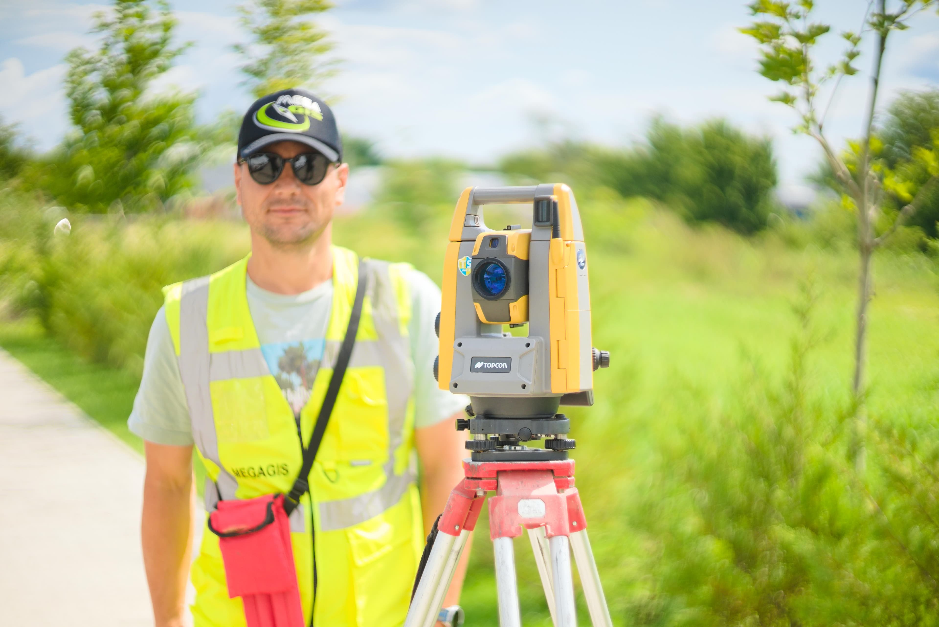
Utilizing dual-frequency Leica & Topcon equipment connected to the ROMPOS national network.
DocCad XML Geodatabases
Automated generation of geospatial and attribute files structured according to ANCPI technical specs.
Publication & Appeal Resolution
Public posting at municipal offices, receiving rectification requests, and resolving field discrepancies.
Specifications & Certifications
Technical Deliverables & Documentation
Engineering Workflow & Execution Steps
Preparation & Public Information
Delineating the cadastral sector, informing property owners, and establishing a joint team with municipal officials.
Topographical Field Surveys
Mapping property boundaries, fences, and buildings using centimeter-level GNSS RTK receivers.
Data Processing & DocCad XML Generation
Creating cadastral maps, property sheets, index files, and ANCPI DocCad XML databases.
Public Exhibition & Appeals Handling
Displaying technical documentation for 60 days and resolving owner rectification claims.
Land Registry Opening & Title Delivery
Opening land registry entries free of charge and delivering land registry certificates to owners.
Target Audience & Use Cases
Public Sector (B2G)
- Municipalities and UATs running national PNCCF / POR systematic registration contracts
- County Councils defining public vs private administrative domain boundaries
- Local Land Commissions for land distribution and possession entry
Private Sector (B2B)
- Real estate developers acquiring large agricultural parcels
- Renewable energy companies (photovoltaic and wind farm developments)
- Agricultural producers requiring clear land titles for consolidation
Request a Proposal for Systematic Cadastre & Free National Land Registration
Contact us today for a free consultation and a personalized quote for your project.
Explore Other Megagis Services
Engineering-level topography & high-precision geodetic survey
Topographical surveys, construction setting out, profiles, and deformation monitoring
GIS Systems & Digital Cartography
Spatial database design, ArcGIS Enterprise servers, and multi-format conversion
Local Registry of Green Spaces (RSV)
Green asset inventory, phytosanitary health assessment, and WebGIS for municipalities
Specialized Technical & Legal Consulting
Institutional liaison, ANCPI/OCPI approval assistance, and public admin support